








AIR QUALITY DRONE MONITORING
A Clear View Across the Skies: Real-Time Air Quality Telemetry from Advanced Drones
Trusted by Industry Leaders to Boost Operations and Value





Drone Models
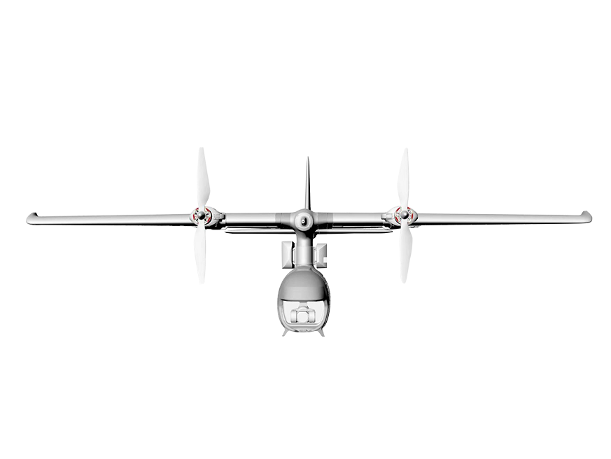
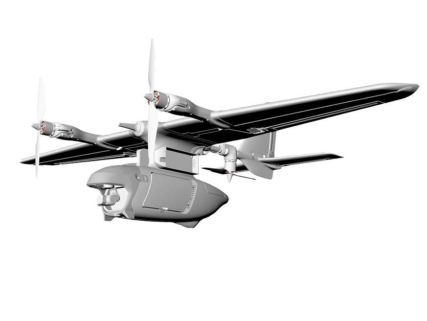
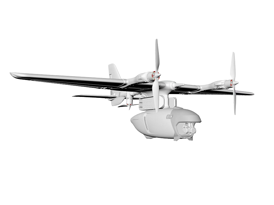
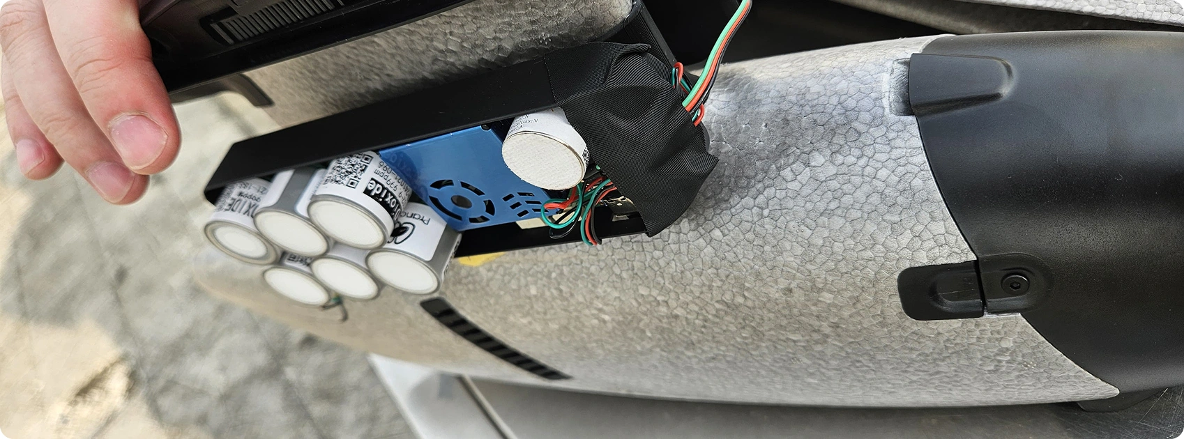
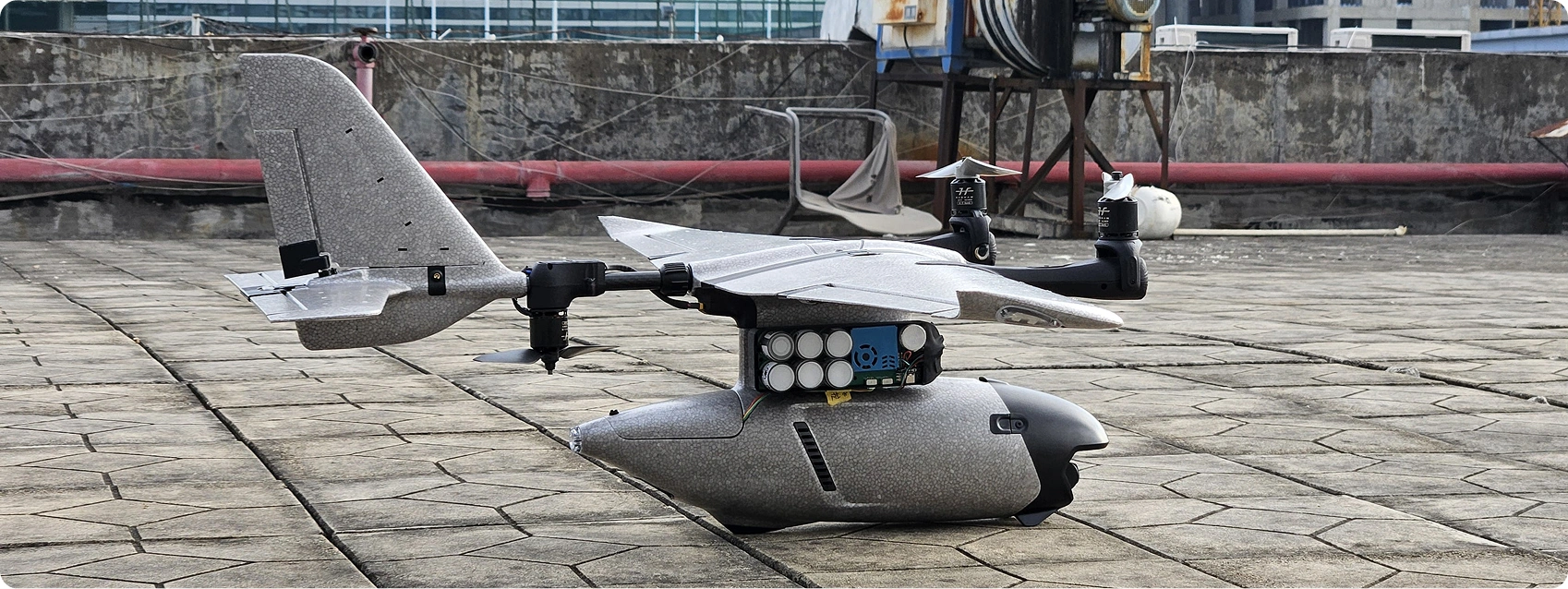
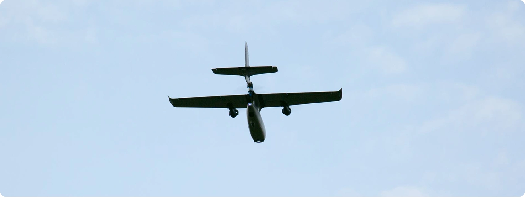
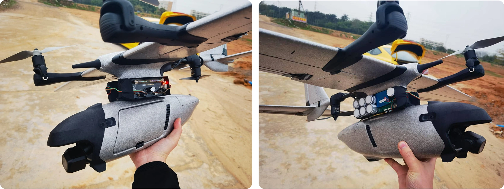
The Prana VTOL (Vertical Take-off and Landing) is a rugged fixed-wing aircraft built for large-scale aerial surveys. It climbs straight up, shifts into level cruising flight, and journeys up to 90 km. That makes it brilliant for mapping mine smoke, checking factory rules, and running land studies. Outfitted with sharp sensors and a thermal camera, it beams live telemetry even from remote bushland or rugged coastlines.
 Brochure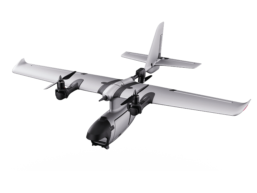
optics
Cutting-Edge Environmental Survey Systems
Both aircraft carry advanced sensor packs to track multiple airborne contaminants, helping
Parameters
Monitored PM1
PM1 PM2.5
PM2.5 PM10
PM10 TEMP
TEMP Humid
Humid CH4
CH4 CO
CO H2S
H2S NH3
NH3 NO2
NO2 O3
O3 SO2
SO2
Flight Data from Hand Controller or Linked App

Live Map Views
A clean visual look at current environmental data.

Historical Data
A quick review of past flights to spot trends.

Graph Generation
Clear graphs designed for fast reading.

Data Plotting
Detailed plots for deep analysis.
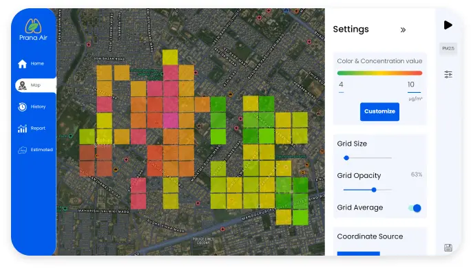
Heat Maps
Colour-coded charts showing major contamination hotspots.
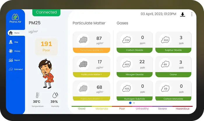
Custom Data
Tailored reports matching client needs.
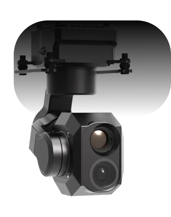
Dual Night Vision + Thermal Camera
A high-definition camera with onboard GNSS for pinpoint geotagging.
- AI Target Tracking
- ±0.01° stabilization
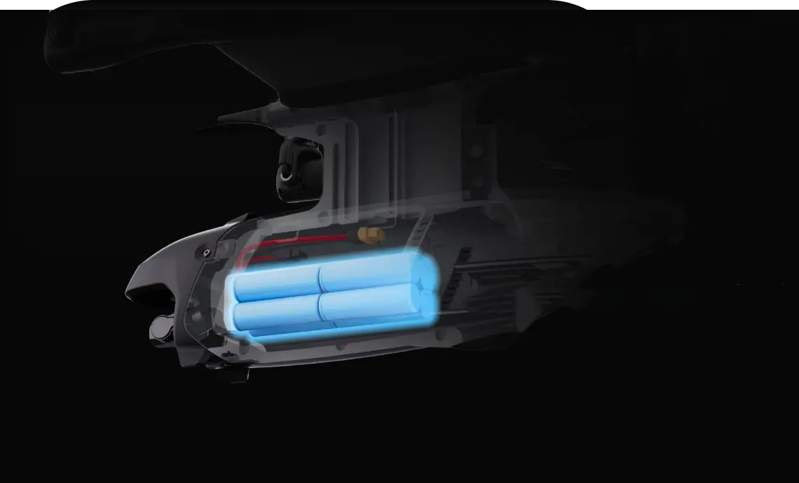
5000 mAh
High capacity Battery
Up to 90km reach with 90-minute sorties (4SP and 3S Li-ion battery)
- 4SP
- 3S Li-ion
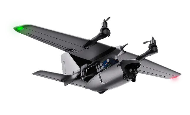
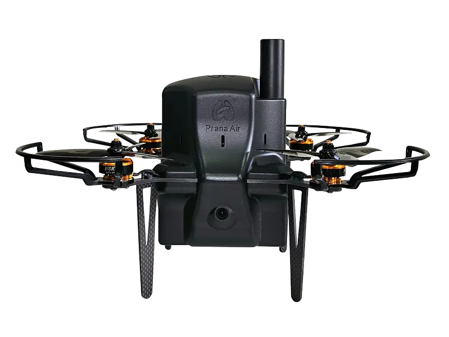
Lightweight Drone for Quick & Easy Site Checks
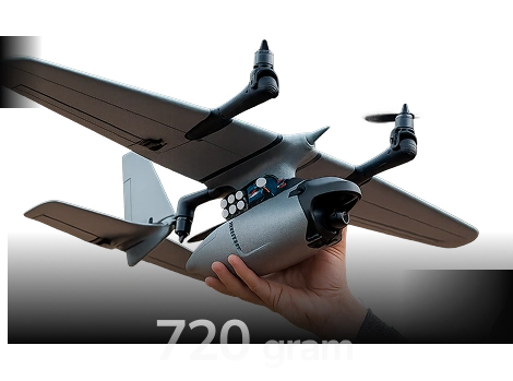
Tipping the scales at just 720g, our handiest pollution drone launches in seconds to sample hard-to-reach terrain. It works wonders for urban checks, rapid hazard callouts, and day-to-day site inspections across the region.
Long-Endurance Drone for Broad-Scale Pollution Mapping
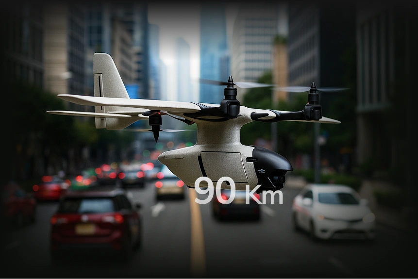
Built for tough runs, the Prana Air Drone can fly up to 90 km and remain aloft for prolonged missions. Whether auditing remote mine operations or broad pastoral zones, it gives you top coverage alongside accurate atmospheric data you can trust.
Advanced Air Quality
Monitoring Technology
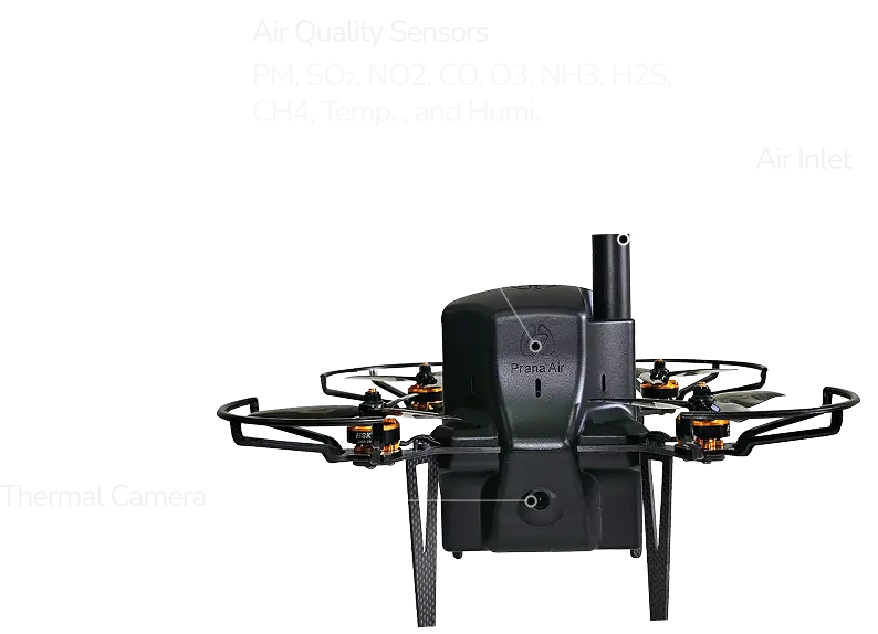
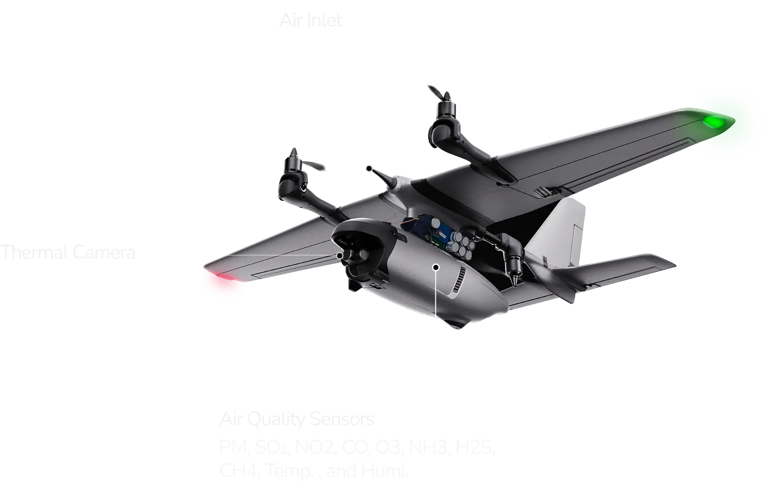
Diagram of Drone
A detailed layout of the drone sensors and components for precision environmental surveys.

Product Gallery

VTOL vs. Quad: Tailored for Your Tasks
 Flight Range
 Use Case
 Camera
 Portability
Prana VTOL
90km (long-endurance)
Mining sites and ecological research
Thermal + 4K night vision
Compact frame, 1.8kg total mass
Request a quote
Prana QUAD
1km (localised precision)
City streets and rapid deployment
High-definition with GNSS
Ultra-light (720g), 5-inch props
Request a quoteTechnical Specifications
Parameters:
- Breathalyzer
Materials:
- PC+ABS
Working current:
- ≤20mA
Device dimension:
- 66mm X 40mm X 16mm
Parameters:
- Breathalyzer
Materials:
- PC+ABS
Working current:
- ≤20mA
Device dimension:
- 66mm X 40mm X 16mm
Parameters:
- test
Materials:
- PC+ABS
Working current:
- ≤20mA
Device dimension:
- 66mm X 40mm X 16mm
Parameters:
- Breathalyzer
Materials:
- PC+ABS
Working current:
- ≤20mA
Device dimension:
- 66mm X 40mm X 16mm

Contact Info
Looking for Any Air Quality Solution?
Phone:
(+91) 73918-73918
Email:
[email protected]
Office:
Crown Heights, 7th Floor, 706, Sec-10, Rohini, Delhi - 110085, India
 Let’s Talk